
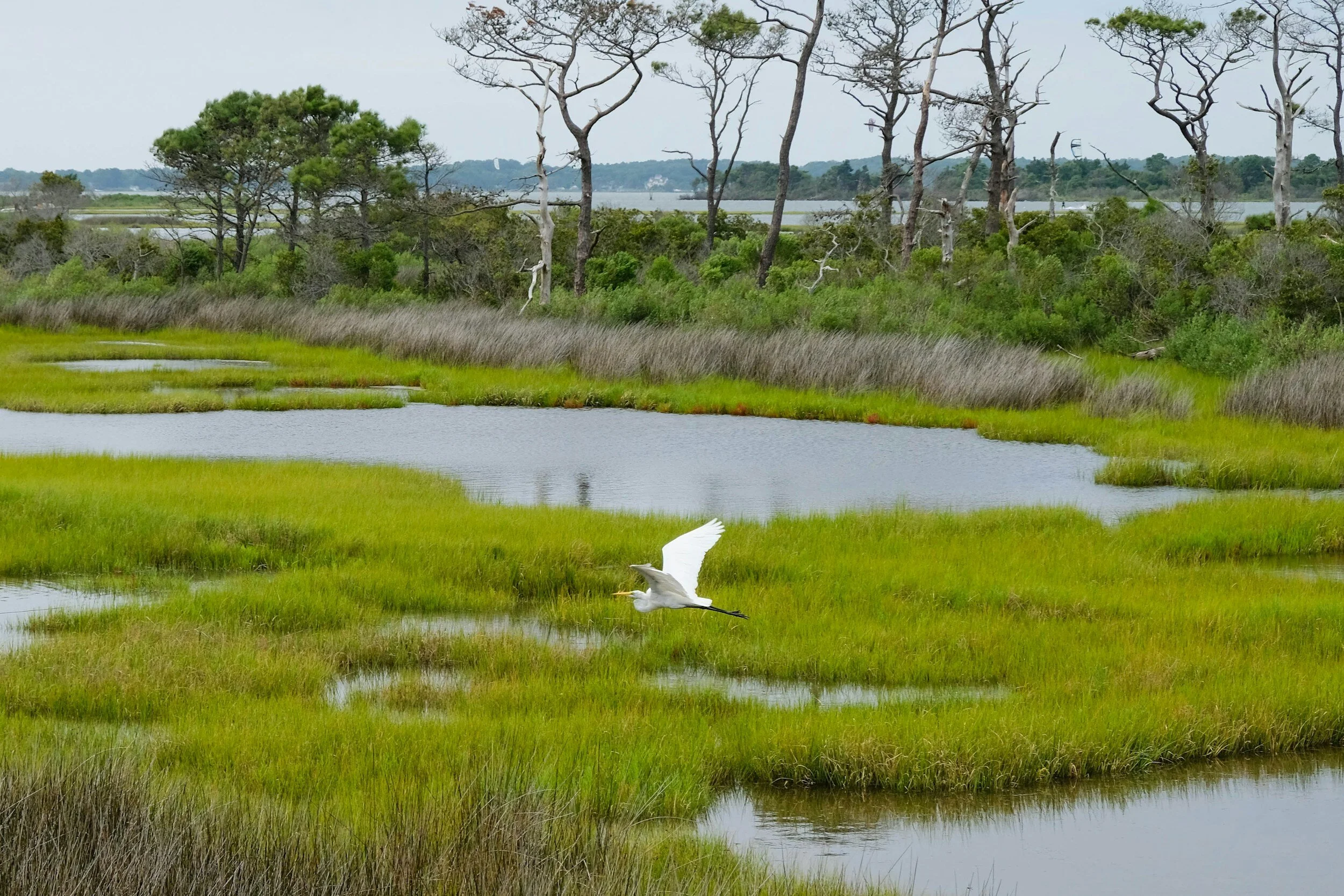

Wetlands and the Diablo Mountain Range (source)
Today, February 2nd, is World Wetlands Day! This celebration of wetlands was created in 2021 by the UN General Assembly in order to raise awareness about the importance of wetlands and the dangers this critical habitat faces. For 2024, the World Wetlands Day theme “Wetlands and human wellbeing” strives to educate the public on how human health and wellbeing is tied to the health of wetland ecosystems. While Our City Forest does not work directly with wetland habitats, growing the urban forest has positive impacts for many ecosystems, including wetlands. In honor of World Wetlands Day, this article will give a brief overview of wetlands and how they are connected to trees and the urban forest.
What is a Wetland?
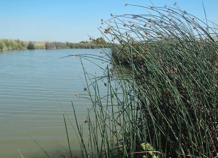
The EPA defines wetlands as “areas where water covers the soil, or is present either at or near the surface of the soil all year or for varying periods of time during the year, including during the growing season”. This broad definition means that wetlands are incredibly biodiverse! The National Oceanic and Atmospheric Administration (NOAA) divides wetlands into 5 types: marine (ocean), estuarine (estuary), riverine (river), lacustrine (lake), and palustrine (marsh). These categories include both saltwater and freshwater environments, as well as brackish (a mix between freshwater and saltwater found in areas like estuaries where the salinity levels fluctuate). The prolonged presence of water has resulted in plants adapting to these wet conditions. These plants are called “hydrophytes”. For example, the freshwater marsh community in the San Francisco Bay includes hydrophytes such as cattails, rushes, sedges, willows, ferns, and tules (nps.gov).

Tule (Schoenoplectus acutus var. occidentalis) (source)
Why are wetlands important?
Wetlands are biodiversity hotspots that have many critical ecosystem roles and provide food for over 1 billion people. Wetlands filter water of excess nutrients and pollutants, provide flood and erosion control, and provide food and shelter for both migrating and permanent wildlife. According to the UN, wetlands, while only covering approximately 6 percent of the Earth’s land surface, “40 percent of all plant and animal species live or breed in wetlands”. Wetlands are also “carbon sinks”, meaning that they capture more carbon from the atmosphere than they release. In fact, they capture more atmospheric carbon dioxide than any other ecosystem on earth.

Threats to Wetlands
In the US, 60,000 acres of wetlands are lost per year. This loss is due to many different causes such as being drained for agricultural use and development for industry, habitat fragmentation, pollution from run-off, eutrophication from agricultural run-off and commercial fertilizer, competition from invasive species, and changes in water level and quality. Unfortunately, California has lost 95% of its historic wetlands. In the post-gold rush era, wetlands were seen as unproductive, wasted land. Many wetlands were intentionally drained for agricultural use. In San Jose during the early 20th century, Laguna Seca, a 1,000+ acre freshwater wetland located at the present intersection of Santa Teresa and Bailey Avenues, was drained and burned for agricultural purposes. The Peninsula Open Space Trust (POST) describes Laguna Seca as a place where “water slowed and fanned out across the landscape, creating a mosaic of wet meadows and ponds, providing habitat for a variety of wildlife and percolating into a groundwater basin that now supplies San Jose with drinking water”.

Laguna Seca (source)
How are trees and wetlands connected?
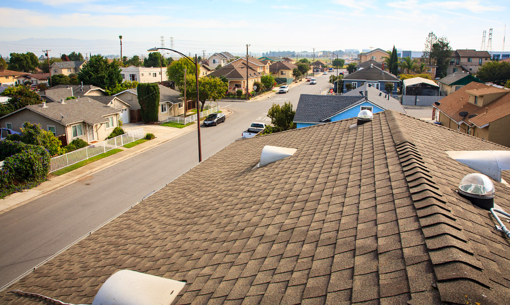
Trees and forests, including the urban forest, play a critical role in protecting wetlands and other parts of the watershed by regulating water flow, providing water filtration, and preventing erosion. When the tree canopy is removed and replaced by impermeable surface such as roads, parking lots, concrete, etc., there is an immediate impact on the watershed (PSU). Water runs off of the many impermeable surfaces found in urban landscapes rather than being slowed by the tree canopy and absorbed into the soil. These large amounts of water are often carried directly to streams, lakes, or rivers without first being naturally filtered by trees and other plant species. This large amount of water increases erosion and deposits large amounts of sediment, both of which can destroy important habitats and breeding grounds. The canopy is first to slow incoming rainfall which then drips down into the soil where it is absorbed and gradually released into the watershed, including important groundwater stores. According to Penn State University,
“Average interception of rainfall by a forest canopy ranges from 10-40% depending on species, time of year, and precipitation rates per storm event. In urban and suburban settings a single deciduous tree can intercept from 500 to 760 gallons per year; and a mature evergreen can intercept more than 4,000 gallons per year”.

(source)
This water is then filtered by trees and other plants before entering the watershed. Excess nutrients, such as nitrates and phosphates, come from agricultural sources as well as urban fertilizer use (such as for lawns). While abundant nutrients may sound like a good thing, high levels cause a detrimental effect called eutrophication. Excessive nutrients result in unbridled growth of plants and microorganisms such as algae. When these plants and microorganisms decay, the amount of bacteria needed to break them down consumes the dissolved oxygen in the water, creating what is often referred to as “dead zones'. These dead zones, stripped of oxygen, suffocate animals such as fish which have a key role in the food web . Furthermore, other contaminants such as metals and pesticides are also removed from the water by plants, particularly woody plants like trees and shrubs. While wetlands can filter pollutants and nutrients, the accumulation of too many nutrients can outweigh the ecosystem’s filtering capacity.

Eutrophic water with algal bloom (source)
Where do wetlands fit into this picture? Without trees and other plants that make up wild and urban forests, these excessive flows of water, nutrients, and pollutants enter straight into the watershed and into down-stream wetland systems. Eutrophication of a wetland can change the water quality and chemical composition and completely destroy the plant and animal life.
How can I help?
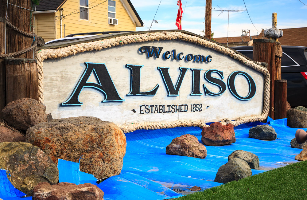
While Laguna Seca was mostly drained, it is not completely gone! It remains as San Jose’s largest freshwater wetland and is located in the critical Coyote Valley habitat corridor. You can volunteer with Santa Clara Open Space Authority to help save and restore this important habitat. Grassroots Ecology, based out of Palo Alto, also does restoration work in San Jose’s Alviso wetlands where the Guadalupe river meets the San Francisco Bay. You can also plant trees or convert your lawn to help capture more stormwater and filter it before the water drains into the watershed.


